
.jpg)
World-first green hydrogen innovation wins prestigious Climate Innovation Challenge
South East Water and RMIT University's ground-breaking method for producing green hydrogen from solar energy and recycled water has won the 2024 Water Minister’s Climate Innovation Challenge.
Warming temperatures may shrink wetland carbon sinks
A major global study using teabags as a measuring device shows warming temperatures may reduce the amount of carbon stored in wetlands.
RMIT researchers help build climate-resilient housing in rural Bangladesh
Researchers from RMIT have partnered with the Palli Karma Sahayak Foundation (PKSF) in Bangladesh to build 40 sustainable and resilient housing solutions for vulnerable rural communities.
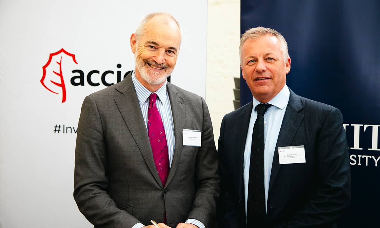
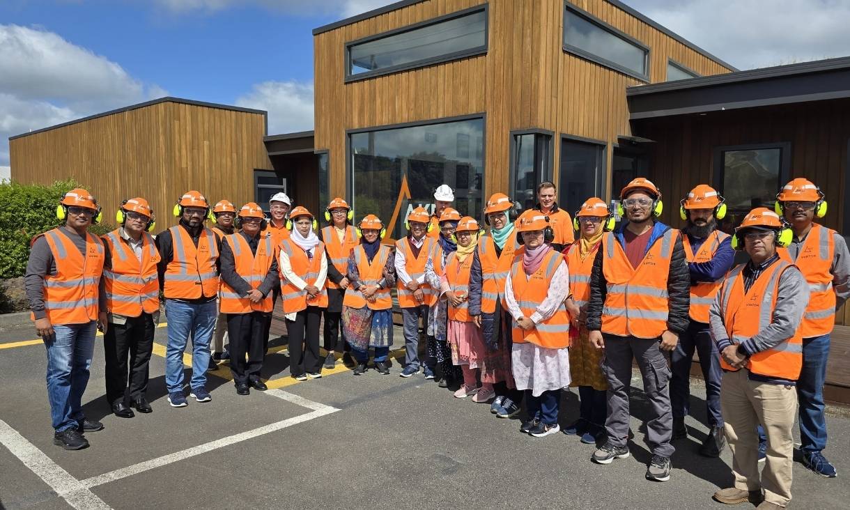
New partnership with global infrastructure giant ACCIONA to advance sustainability
RMIT and ACCIONA have signed a partnership agreement to drive innovation and build skills for a sustainable future.