
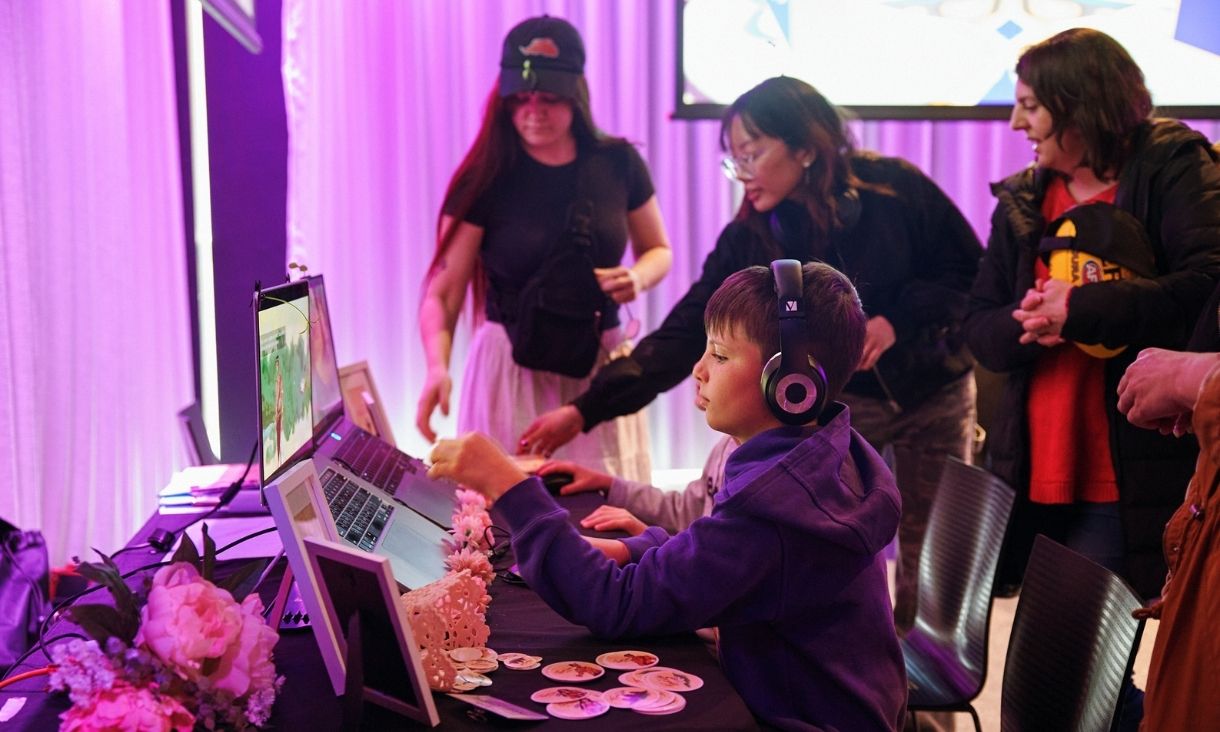
RMIT renews decade-long partnership as ACMI's Major University Partner
RMIT University is now recognised as ACMI's Major University Partner, marking the continuation of a 10-year collaboration that has become a cornerstone of Australia's screen-based creative industries.
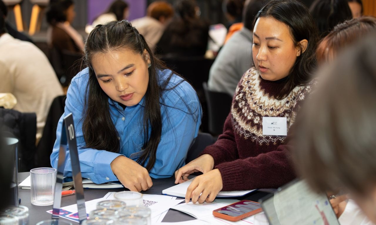
Building the capability of leaders working in Asia
A simulated challenge that helps to build the capability of leaders working in Asia has been held at RMIT Vietnam for the first time.
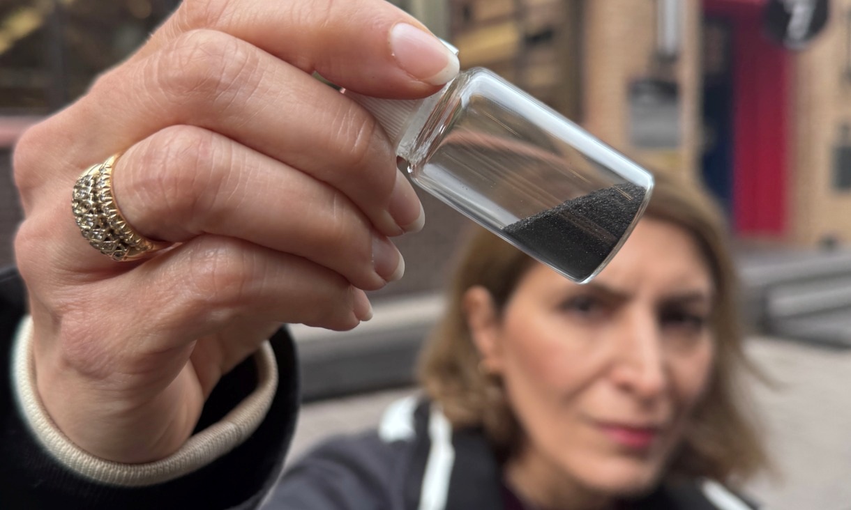
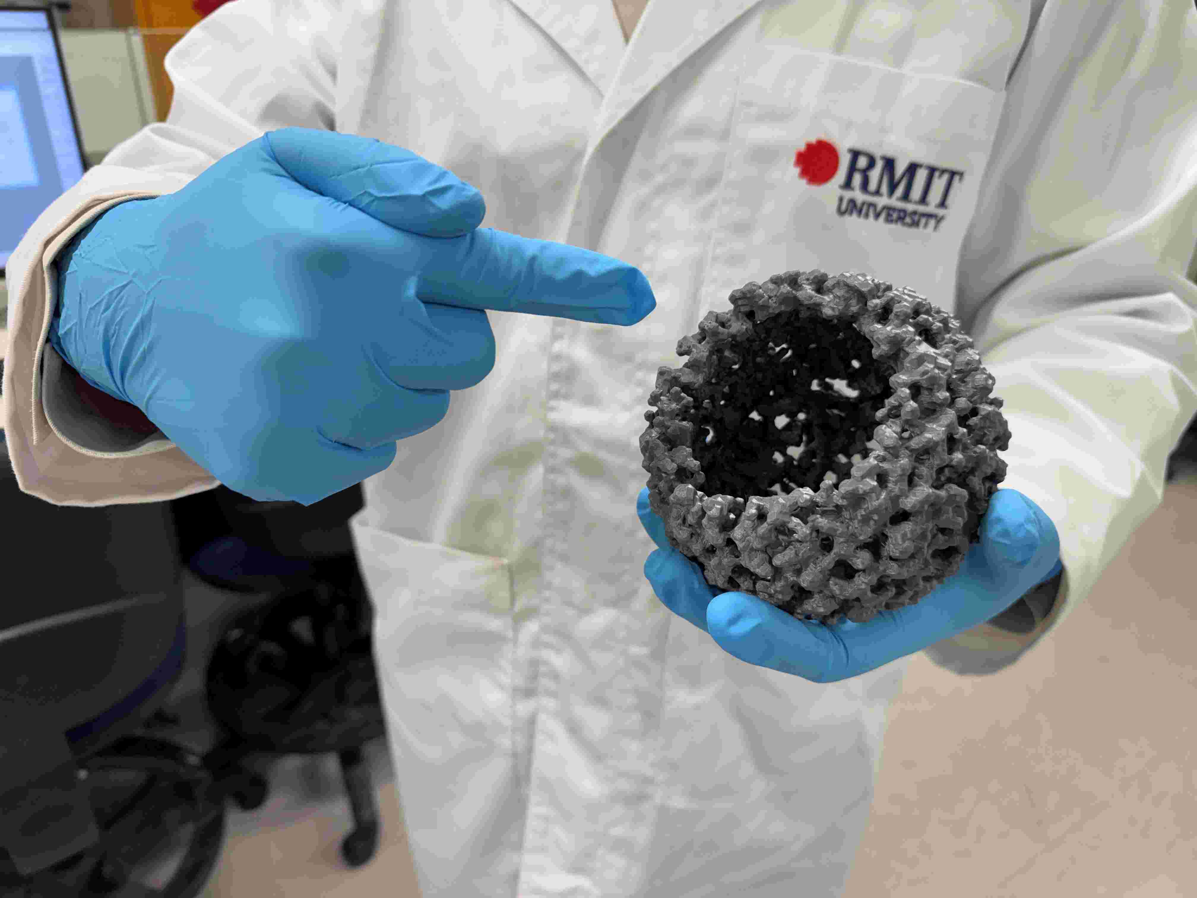
Magnetic invention removes ‘invisible’ microplastics plus some PFAS
RMIT University researchers have developed a water treatment material that rapidly removes micro and nano plastics and some PFAS, bringing the technology closer to real world use.
Low-cost innovation boosts green hydrogen production
RMIT researchers and international collaborators have demonstrated a new way to significantly increase green hydrogen production using low cost materials, offering a potential pathway to cheaper clean fuel.


