Smart city tech keeps Bendigo residents cool by mapping hot spots
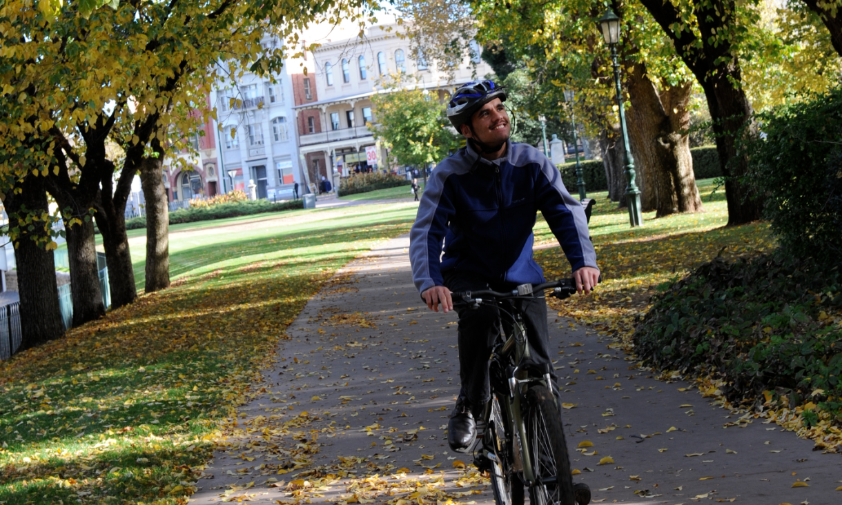
A new smart technology platform launched today in Bendigo will help residents keep cool this summer by mapping the location of urban hot spots in the city to avoid on hot days.
Australian cities are widely known for their liveability, yet extreme heat can be a killer with inland regional towns being most vulnerable.
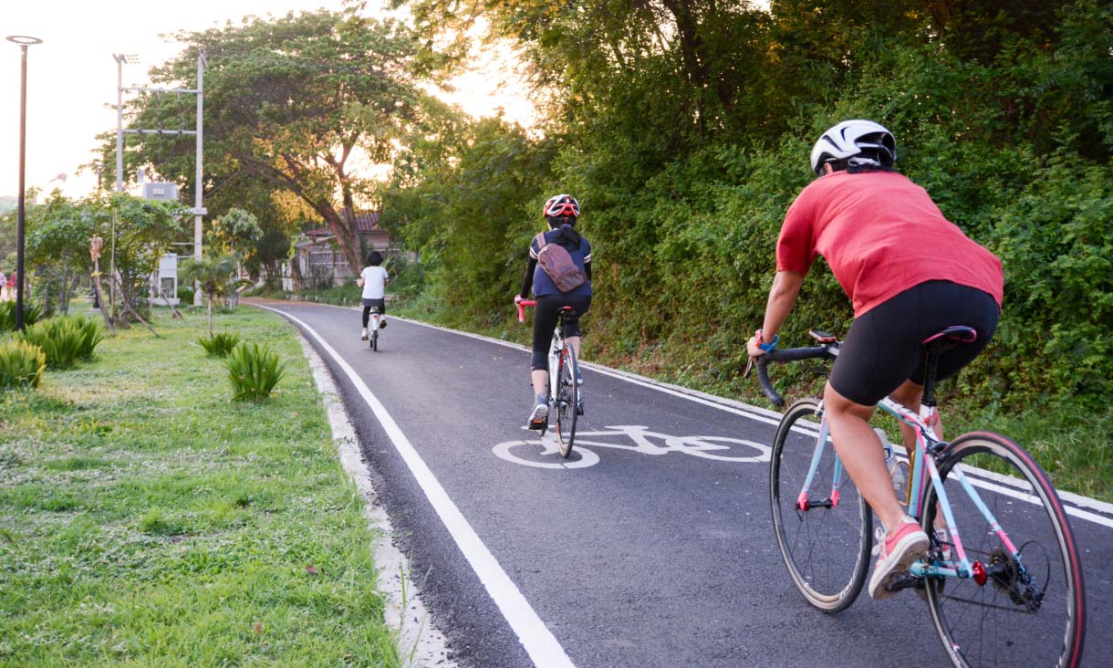
Shadeways, a new digital platform developed by RMIT researchers, uses Google Street View images and satellite heat imagery to show which streets and routes are likely to be shadier and cooler than others for pedestrians and cyclists.
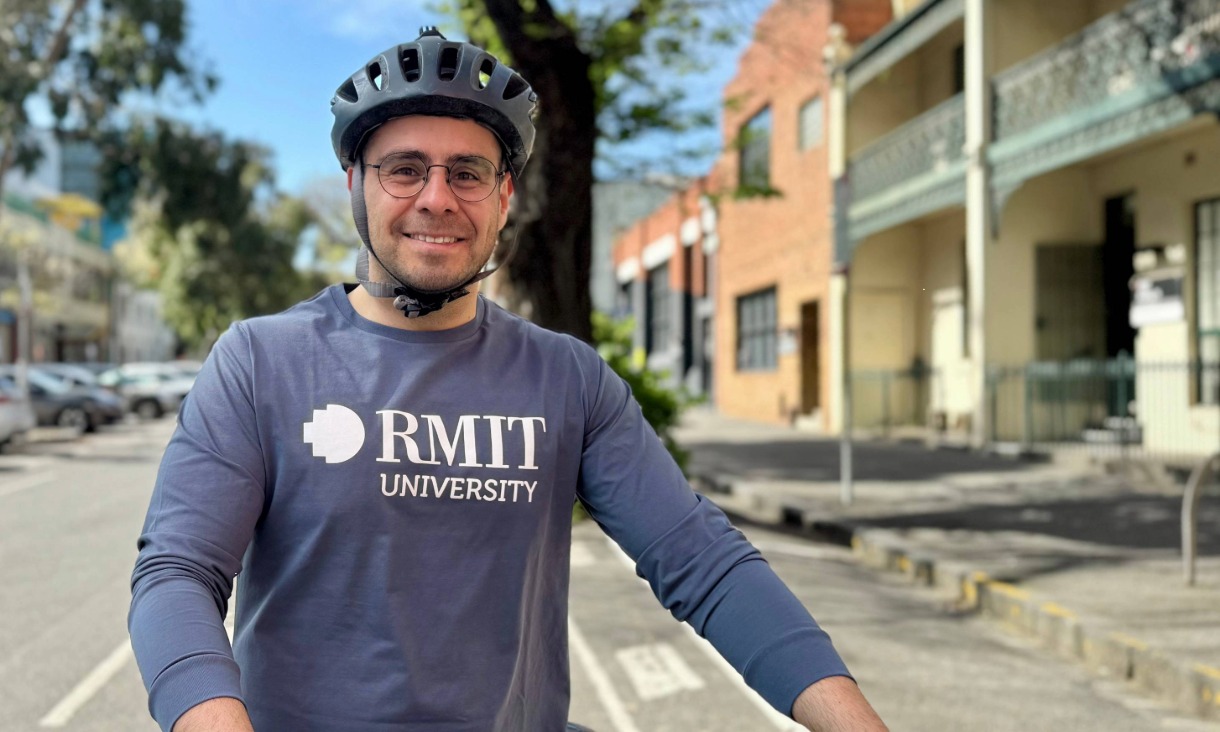
Led by Associate Professor Marco Amati from the RMIT Centre for Urban Research, the platform will enable residents to move in comfort and safety.
“Temperature acts as an obstacle and impedes active travel such as walking and cycling,” Amati said.
“With the growing number of hot days, Shadeways is responding to the public’s need to travel through cool routes.
“Shadeways puts information about the cool areas in a city in the hands of people, enabling them to map a cooler route through the City of Greater Bendigo.
“It will give users the ability to stay outside and take part in active travel for longer periods of the day.”
Senator for Victoria the Hon Sarah Henderson, who attended the platform’s launch event at the Bendigo Bank Theatre at the Capital, said the project is an innovative and clever way to keep the Bendigo community safe during summer.
“The platform will help pedestrians and cyclists understand how their route will expose them to extreme temperatures.
“Innovative solutions such as this help boost community resilience to heat and extreme weather.”
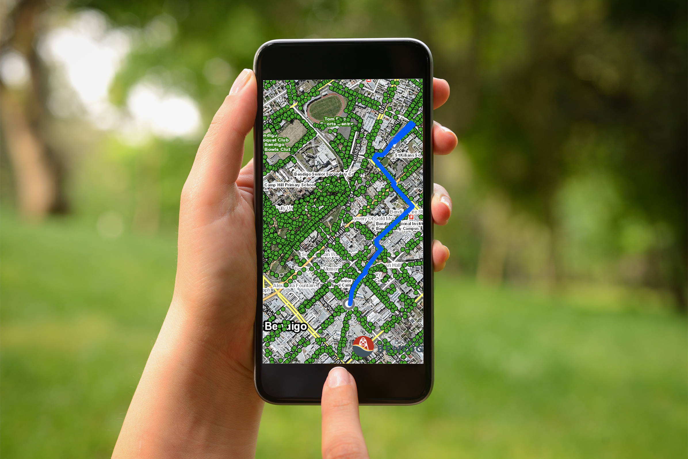 The new digital platform maps a Shadeway route through the city that has shade from trees, verandahs or buildings. Because of the shading, the path is generally cooler.
The urban heat maps provided by Shadeways will help inform where to prioritise street tree planting, with The City of Greater Bendigo drafting a plan to increase tree cover throughout urban areas and townships for release in early 2020.
City of Greater Bendigo Mayor Margaret O’Rourke said data and technology can dramatically improve city planning and approaches to managing climate change.
“We have been able to understand where our streets are hottest and coolest, which will help us to reduce hot spots by planting trees and cooling the city,” Cr O’Rourke said.
“This will be helpful in improving the overall health and wellbeing of pedestrians, particularly vulnerable people such as the very young, elderly and disabled.
“We appreciate the opportunity to be a test site for this leading technology and data collection and look forward to our community benefiting in the long term and using the information collected to enhance our overall liveability.”
Amati said the project's technology and concept are completely scalable and is already being adopted in a pilot for the City of Melbourne's innovation district as an extension.
“Solving issues like extreme heat in our cities is best done when researchers and innovators work closely with both local communities and governments,” Amati said.
“This kind of partnership ensures the solutions we have developed are relevant and supported to succeed.”
The project is part of the Australian Government’s Smart Cities and Suburbs Program in partnership with La Trobe University, City of Greater Bendigo, Shanghai Qijing Planning Architecture and Design, and Spatial Vision Innovations Pty Ltd.
Story: Chanel Koeleman
- Society
- Sustainability
- Research
- Urban Design
- Environment
Related News
30kph residential speed limit improves safety with little effect on travel times
Reducing residential speed limits from 50 kilometres per hour to 30kph would significantly boost bicycle riding safety without majorly affecting car trip times, a study has found.
New research outlines alternatives to harmful electricity disconnections
New research from RMIT University shows that electricity disconnections for non-payment of bills can be stopped without significantly destabilising the market.
Melbourne cycling infrastructure plan risks getting stuck in low gear if feeder networks not considered: new research
A new study highlights how far Melbourne still has to go in becoming a cycling city, warning the state government’s plan for strategic cycling corridors must be complemented by local government efforts to make local streets safer for cyclists.
Harnessing data to drive liveability
RMIT is collaborating with government and industry partners on an innovative data sharing project, which aims to create more sustainable, liveable and healthier communities.


Acknowledgement of Country
RMIT University acknowledges the people of the Woi wurrung and Boon wurrung language groups of the eastern Kulin Nation on whose unceded lands we conduct the business of the University. RMIT University respectfully acknowledges their Ancestors and Elders, past and present. RMIT also acknowledges the Traditional Custodians and their Ancestors of the lands and waters across Australia where we conduct our business - Artwork 'Sentient' by Hollie Johnson, Gunaikurnai and Monero Ngarigo.
More information