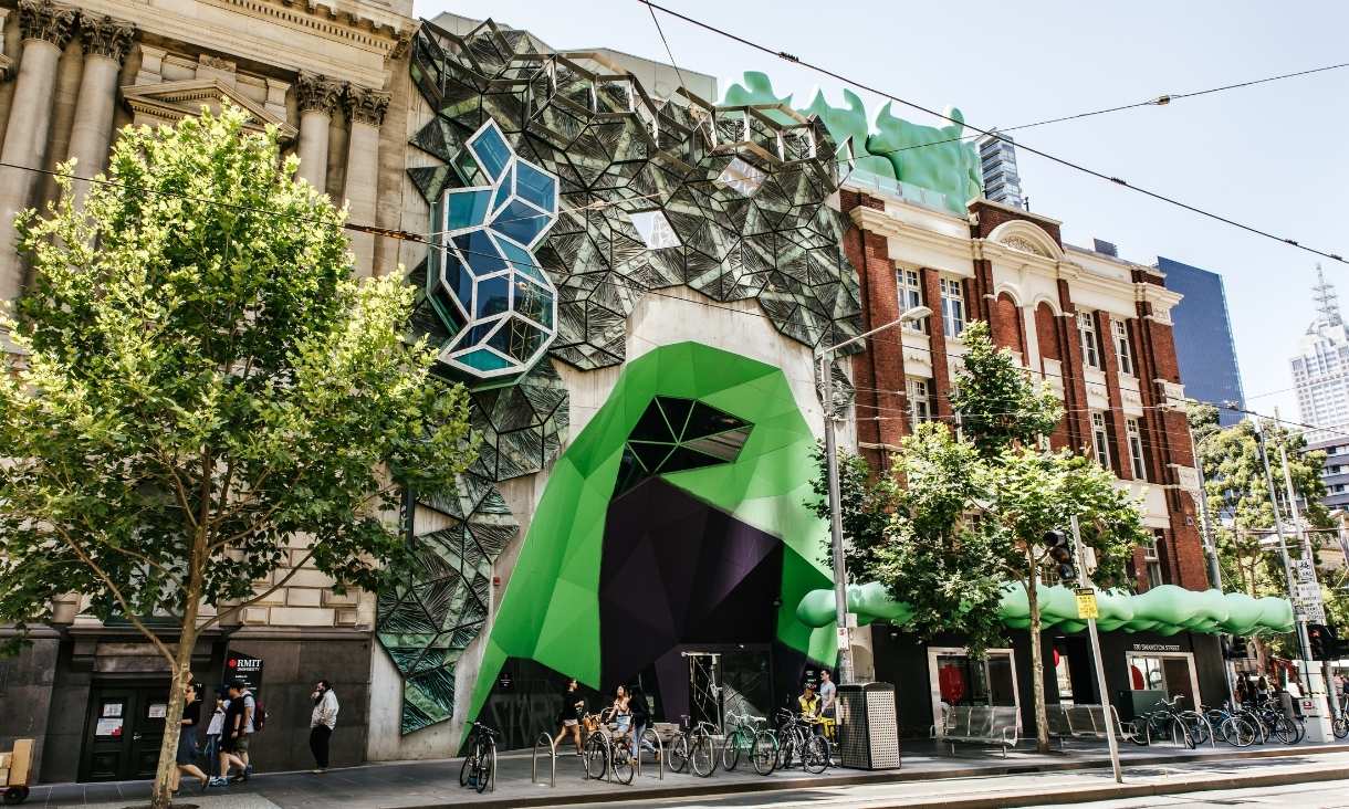
RMIT achieves prestigious Athena Swan Silver Award for gender equity
RMIT has become one of only five universities in Australia to gain the prestigious Science in Australia Gender Equity (SAGE) Athena Swan Silver Award, placing it among the national leaders in advancing gender equity and inclusion in higher education.
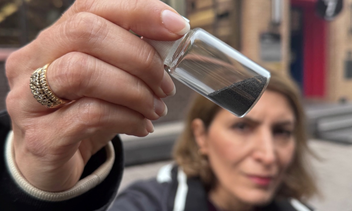
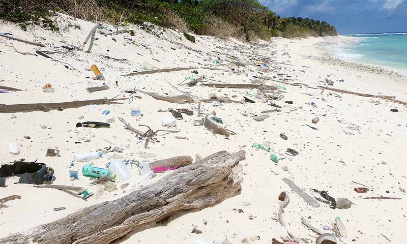
Magnetic invention removes ‘invisible’ microplastics plus some PFAS
RMIT University researchers have developed a water treatment material that rapidly removes micro and nano plastics and some PFAS, bringing the technology closer to real world use.
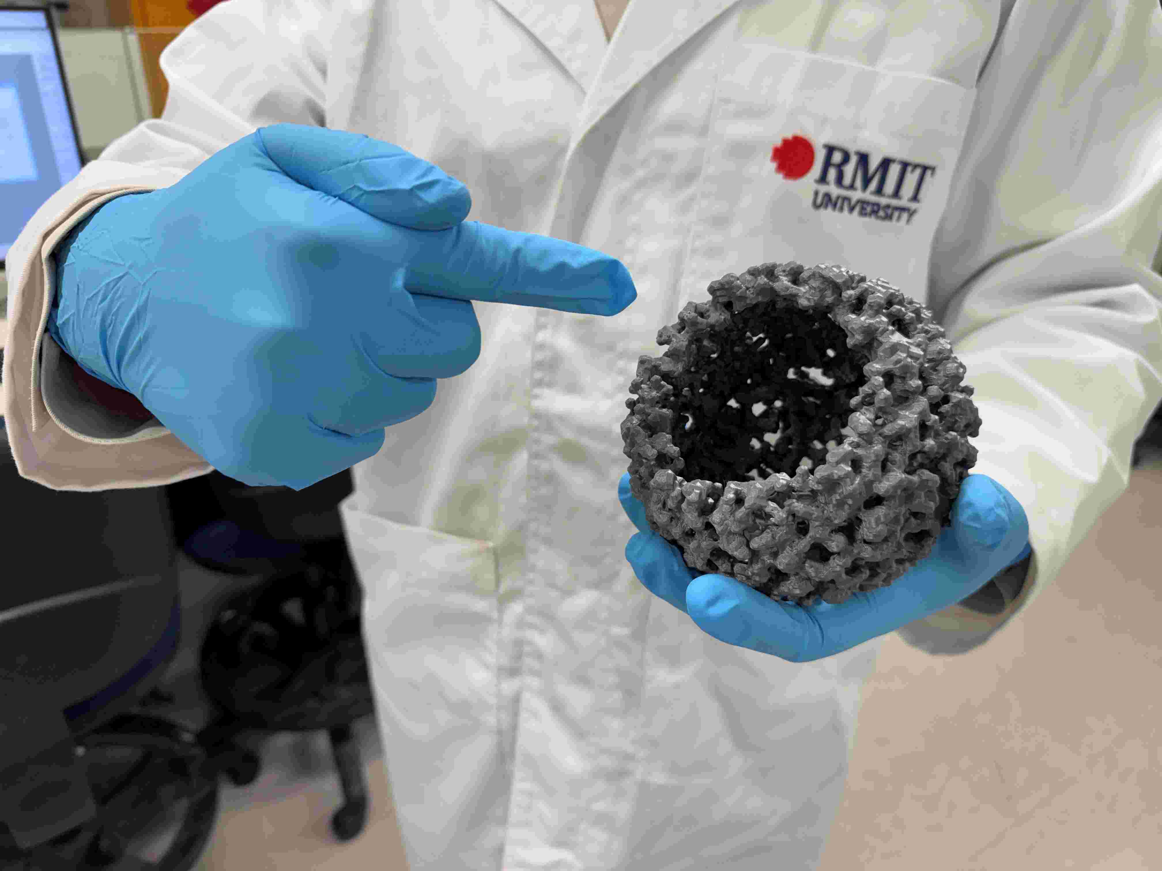
Low-cost innovation boosts green hydrogen production
RMIT researchers and international collaborators have demonstrated a new way to significantly increase green hydrogen production using low cost materials, offering a potential pathway to cheaper clean fuel.
.jpg)
RMIT advances sustainable housing leadership at WSBE26
RMIT University was honoured to recently host the World Sustainable Built Environment Conference 2026 (WSBE26) in Melbourne, one of the longest‑running global scientific and technical conference series dedicated to sustainability in the built environment.


