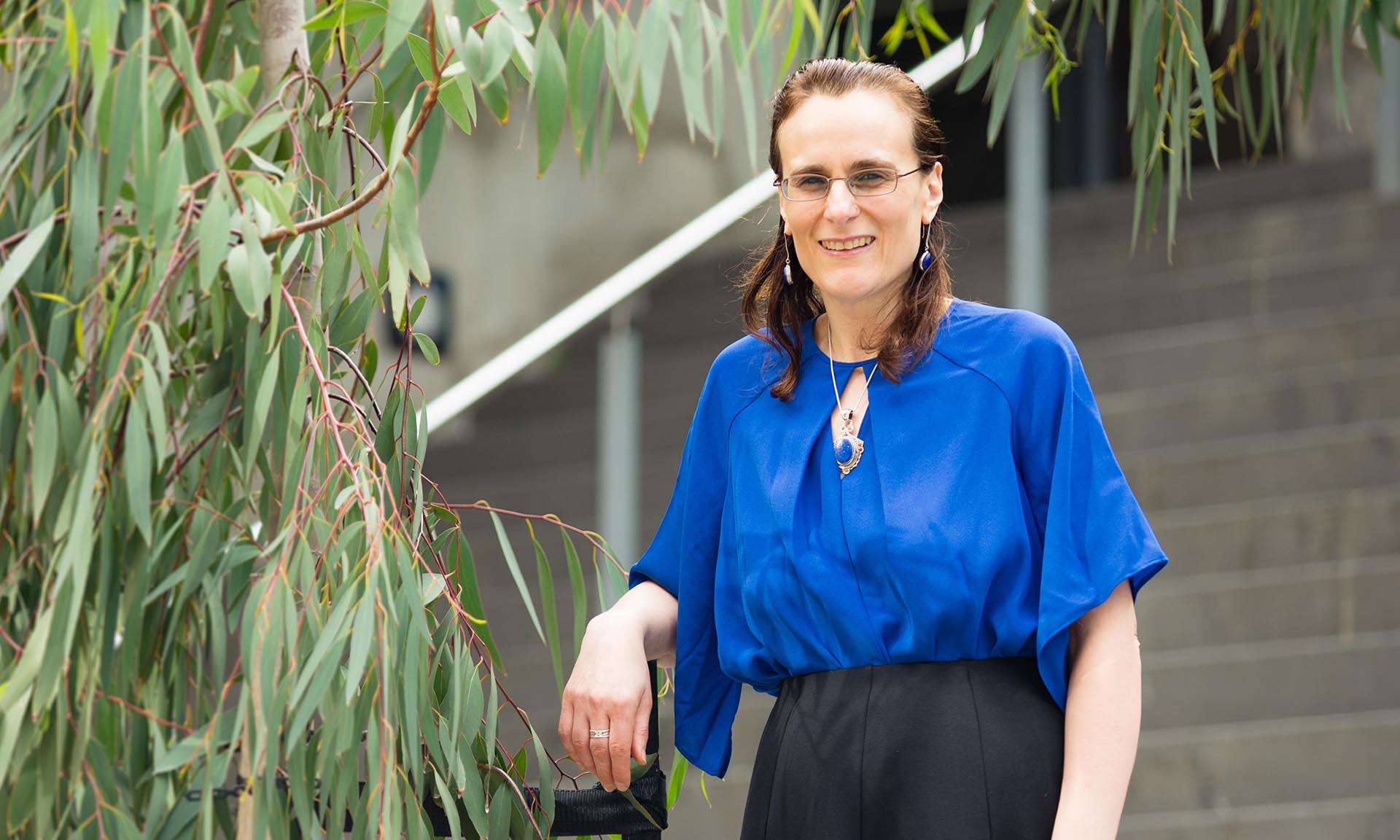
RMIT geospatial scientist Associate Professor Suelynn Choy said the Australian Government’s recent $224 million investment to improve GPS satellite signals across Australia will open a whole range of opportunities for industry.
“Thanks to the Commonwealth-funded satellite navigation and ground infrastructure projects that are now underway, we’ll soon have better GPS position information that is accurate to the centimetre and millimetre level,” Choy said.
“This opens the door for a whole new wave of applications in intelligent transport, utilities, smart cities, emergency services and construction, as well as for mining and agricultural surveying where it’s traditionally been used.”
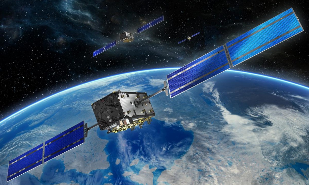
Global Navigation Satellite Systems (GNSS), like GPS in Australia, currently provide positioning with around 5 to 10-metre accuracy due to in part atmospheric interference during the 20,000 km journey from the satellite to the ground.
On behalf of the Australian Government, Geoscience Australia is developing a world-leading positioning capability for Australia, which includes a new Australian Satellite-Based Augmentation System (SBAS) to boost GNSS signals across the country.
Choy said the 10th Multi-GNSS Asia Conference being hosted at RMIT from 23-25 October was a timely event to bring together local and international geospatial researchers, governments and industry partners to discuss opportunities for taking advantage of this new capability.
“RMIT has strong expertise in technology designed to deliver improved GPS positioning and navigation solutions to the end user across a variety of industry sectors. Many industry sectors are not yet fully aware of the real potential of improved GPS technology,” she said.
“This conference provides an opportunity to learn about the latest advancements in US GPS, Russian GLONASS, European Union Galileo, Chinese BeiDou, Japanese QZSS and Indian IRNSS/NAVIC satellite navigation technologies, connect with local and international businesses and explore how satellite positioning, timing and navigation information can catapult their commercial enterprise.”
Victoria’s Lead Scientist Dr Amanda Caples, Australian Space Agency Deputy Head Anthony Murfett and Dr John Dawson who leads the Positioning Section at Geoscience Australia will lead a high-profile panel of speakers along with local and international industry representatives.
RMIT’s DVC for Research & Innovation Professor Calum Drummond will open proceedings.
Story: Michael Quin


