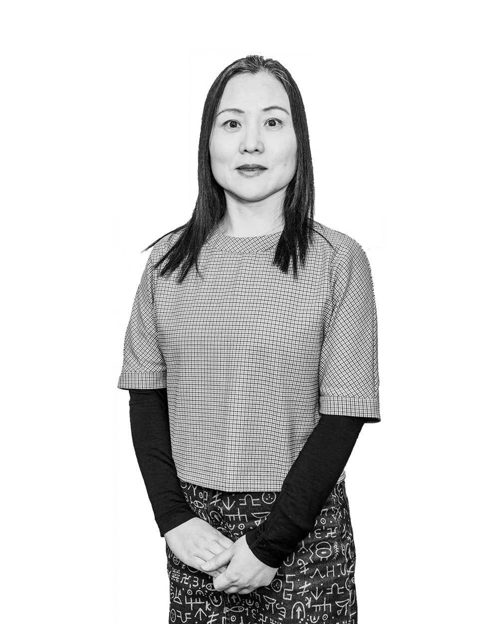
Dr Chayn Sun, Geospatial Scientist in the School of Science
Chayn Sun's research capabilities are in Geospatial Science, Spatial and Statistical Analysis and Modelling, Geographic visualization, Remote sensing, Applied GPS tracking and eye tracking.
When you go into Dr Chayn Sun’s Google Scholar page, you will first notice her keywords; ‘geoscience’, ‘human behaviour’, ‘transport psychology’, ‘health geography’ and ‘urban planning’, which give you a direct and insightful glimpse into her interdisciplinary research. Chayn’s research interests started in the geospatial sciences and later moved to incorporate research that would help improve people’s health and lifestyles. Her research focus led her to work on projects with industry, local council and government health sectors where she was able to develop and apply her multidisciplinary expertise to help combat some of our major global problems caused by population, urban growth and ageing.

Background
Chayn was awarded an Australian Postgraduate Award (APA) in 2013 and graduated with her PhD in 2017 at Curtin University in WA. Her research looked at combining human perception variables with location information and putting it into one conceptual framework, Psycho-Geoinformatics.
Chayn worked in various roles within industry and government sectors as a GIS (Geographic Information System) Consultant including GHD and the Auckland Council in New Zealand. She later moved to Australia to work at the University of Western Australia in Perth. Keen to apply her geospatial science expertise and build her data science skills within academia, Chayn joined RMIT University in 2017 as a Postdoctoral Fellow in RMIT's Centre of Urban Research (CUR) with Clean Air and Urban Landscapes (CAUL), a program funded by the National Environmental Science Program. Here, she participated in several large research grant applications and built strong collaborative links between CUR, and the School of Science’s Geospatial Science group.
Chayn's multidisciplinary skills and networks provided her with the opportunity to move to the School of Science as a Lecturer in Geospatial Sciences. While still maintaining her role as an Associate Researcher with CAUL, Chayn led various industry focused research projects using Machine Learning and Big Data analytics. Her research collaborations across two RMIT Colleges helped her to broaden her knowledge and research interests in urban greening and environmental planning of urban heat within various disciplines.
Research Projects
Chayn is currently collaborating with the Greater City of Bendigo and has combined funding she received from this local council, Smart Cities and the Urban Forest Planner as well the Urban Futures ECP 2019 CDF to investigate into the most vulnerable urban communities in need of the co-benefits of urban greening. She combined various data sources such as Google Street Viewer (GSV), satellite imaging, data from government surveys and used Artificial Intelligence to extract the information to analyse the relationships between people and their environment. This data aims to help local councils and governments improve the lifestyle and liveability of residents.
An outcome from this research is the Shadeways Mapping Project, led by CUR in collaboration with the Greater City of Bendigo (GCB), Spatial Vision and Isobar. The aim of this project is to help the GCB community to understand where the urban hot spot routes are located and hence, help local residents make choices about which routes to take when walking, jogging or cycling. This app provides the user with navigation tools such as Google Maps and Apple Maps. GCB can accurately inform its residents of the advantages of greening, enabling them to travel comfortably and safely. Shadeways also offers residents the opportunity to participate in this research through their use of this app. Chayn and her research team will work on a weather sensor network and IoT (Internet of Things) project for the next stage of the Shadeways app. This project is led by the GBC and when complete, will provide the user with live weather updates.
Chayn has also been involved in a larger research group between RMIT, CSIRO, CAUL - Hub of the National Environmental Science Program and Melbourne Water. So far, this research has developed precise mapping and analysis of vegetation that supports the creation and expansion of urban forests and cooling measures throughout Melbourne’s metropolitan area. For more information about this research, click here.
Chayn has also worked on developing the Heat Vulnerability Index for Melbourne and Sydney, a tool that is recognized by planning government agencies. This index has been published on government websites and used by local governments for heat mitigation and related urban planning.
Chayn has been leading developing a quantitative measurement on older drivers' visual-motor coordination. Her work has produced recommendations on how to make it safer for older drivers as well as other drivers. Her study used the ‘psycho-geoinformatics’ method where researchers could precisely look at how each driver reacted to road curves or other cars in a real-world situation. For more information about this study, click here.
You can also view Chayn’s invited SpingerOpen Blog: here.
Her upcoming publications will be addressing issues on post-stroke drivers and young drivers with Autism Spectrum Disorder.
Applying for a DECRA
Clear about her research passion and strengths, Chayn recently submitted a DECRA (Discovery Early Career Research Award) application for her project, ‘Sensed space syntax: Designing intelligent cities with augmented humans’. If successful, this project will aim to improve the sustainability, resilience, liveability and general well-being of Australian cities in an innovative way where machine learning, eye tracking, human exposure to sky view, trees and shade provision using street view images can create real-world data through the Sensed Space Syntax model. The outcome would be to provide this information to policy makers so they can prioritise those actions that will help improve lifestyles for Australians.
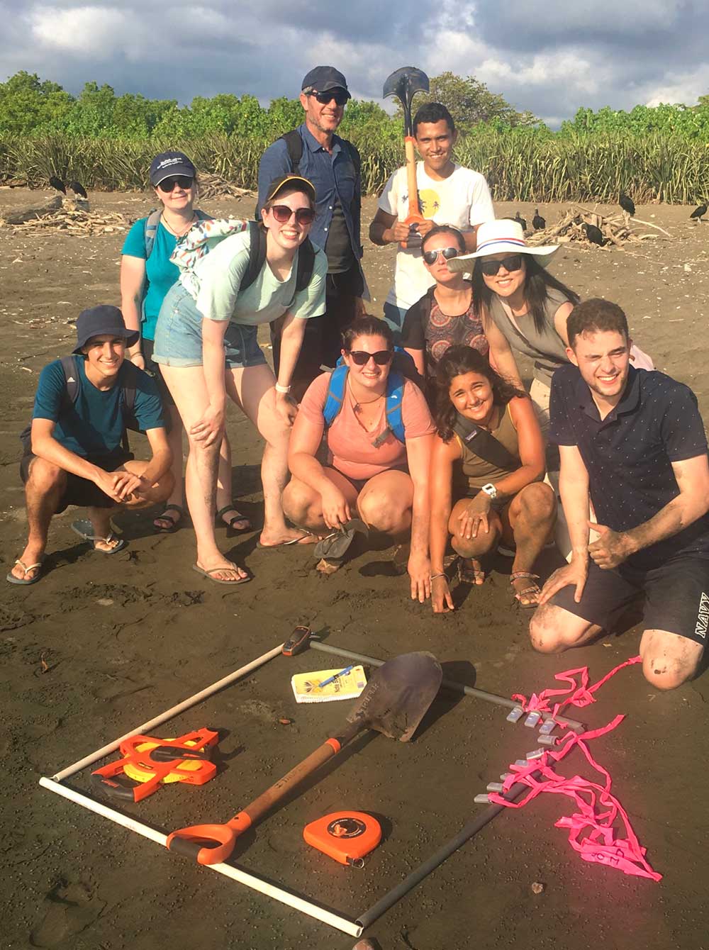
Chayn's research takes WIL students to Costa Rica
Chayn is currently supervising 3 PhD and 6 Masters students and has involved them in many of her research projects. Her with RMIT's WIL (Work Integrated Learning) program gave her the opportunity to take some of her Geospatial Sciences undergraduate/postgraduate students on a study tour in Costa Rica, Central America. Here, Chayn and her students used spatial technology to discover that climate change is being considered to have an influence on the changing nesting behaviour of sea turtles. Their results showed that the numbers of female baby turtles or hatchlings had increased due to warmer climate temperatures hence, affecting the future gender balance of these turtles.
How you can connect or collaborate with Dr Chayn Sun
Chayn is keen to collaborate with researchers. If you are interested, you can contact her via her email: chayn.sun@rmit.edu.au and her LinkedIn page or Google Scholar.


