Research capabilities
Our researchers have a strong track record of competitive funding and maintain a vibrant research culture, supported by a large and growing cohort of Higher Degree by Research (HDR) students who actively contribute to impactful, real-world projects.
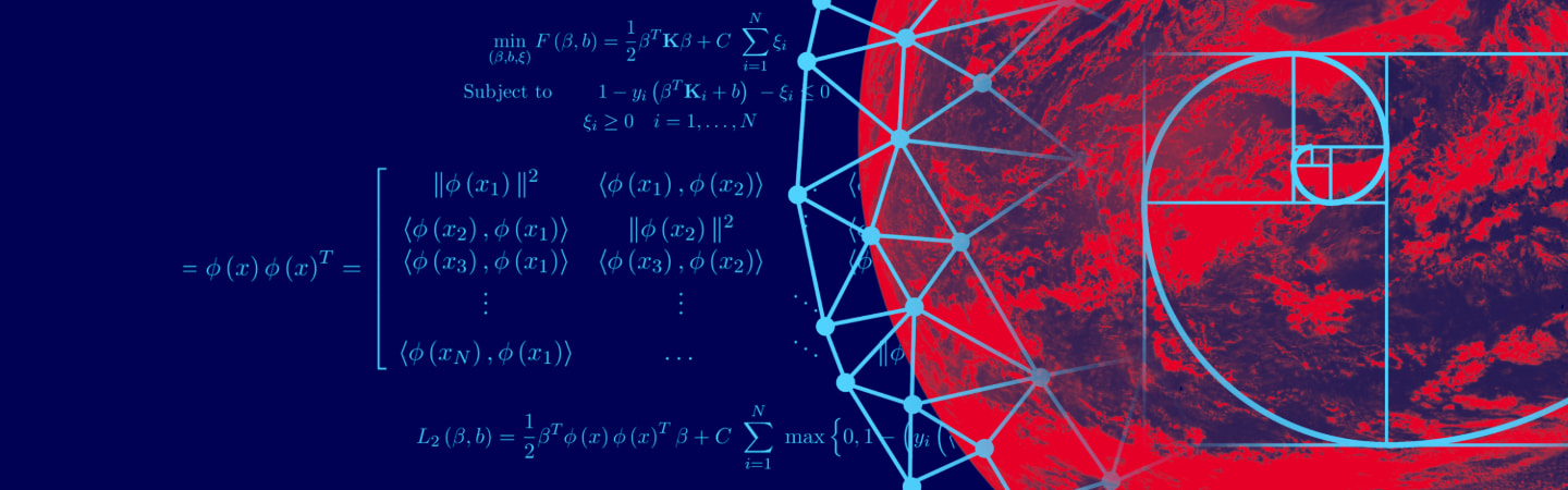
CMO is actively engaged in the solution of fundamental challenges faced by the community via collaboration with industry and government organisations. Research into optimisation advances in decision support tools, machine learning and data science algorithms and better modelling methods for real world problems. The CMO research concentration has three pillars:
SMDA research focuses on statistical methodology and theory as applied to biostatistics, public health, climate science, environmental statistics, medicine, biology and finance. Advances made in statistical methods for data science and statistical machine learning has led to this wide range of applications.
Our research collaborations include those within the RMIT community, with statistical and cross-disciplinary colleagues in Australia and overseas, and with government and industry partners.
ISNS research focuses on all aspects of information security and assurance, from analysis of the structure and dynamics of networks and the information they carry. The ISNS Group focuses on three main research areas:
ISNS has projects in each of these areas and have been externally funded through industry, government or philanthropic partnerships.
IDM has a strong focus on vector-borne and zoonotic disease and a long relationship with the Australian Centre for Disease Preparedness (CSIRO). Our broad aim is to improve the scientific basis for the management of wildlife disease by generating insights into the distribution and abundance of disease in nature.
The Australian Earth Observatory at RMIT conducts leading-edge research in fire detection and environmental monitoring through the integration of advanced remote sensing and geospatial technologies. The team specializes in developing and refining algorithms and methodologies for wildfire detection, prediction, and the assessment of fire severity and fuel dynamics. Their broader research portfolio encompasses landscape-scale environmental mapping, including above-ground biomass estimation, forest change analysis, marine debris detection, and habitat identification.
Climate Risk Assessment and Warning Systems integrates geospatial intelligence, satellite navigation, and atmospheric modelling to support climate resilience in the Pacific region. Leveraging advanced GNSS, radio occultation, and space-based monitoring, it enhances early warning systems and climate risk assessment. The work strengthens regional capabilities in climate monitoring, space weather prediction, and disaster preparedness.
GISail (Geospatial Informatics and Intelligence) harnesses big geospatial data and artificial intelligence to address urban and environmental challenges. Integrating spatial analysis, machine learning, and open-source technologies, it supports data-driven planning and policy. The focus is on urban resilience, climate adaptation, and equitable access to resources for sustainable, inclusive cities.
3D Mapping and Smart Cities focuses on integrating spatial digital twins, LiDAR, IoT, and advanced 3D geospatial technologies to support urban intelligence and infrastructure planning. A key emphasis is on visual sensing for indoor positioning, using 3D building models, computer vision, and deep learning to enable infrastructure-free tracking and navigation. This work advances smart city applications through innovative spatial analysis and positioning solutions.
Geodesy and Positioning Technologies advances precise positioning, navigation, and timing (PNT) by integrating geodesy, GNSS, and emerging Low Earth Orbit (LEO) satellite systems. Research focuses on developing next-generation algorithms and models to enhance spatial accuracy, support space weather monitoring, and enable reliable environmental sensing. Efforts include exploring LEO-based PNT as a complementary solution to GNSS and improving satellite orbit and atmospheric correction models for high-precision applications.


RMIT University acknowledges the people of the Woi wurrung and Boon wurrung language groups of the eastern Kulin Nation on whose unceded lands we conduct the business of the University. RMIT University respectfully acknowledges their Ancestors and Elders, past and present. RMIT also acknowledges the Traditional Custodians and their Ancestors of the lands and waters across Australia where we conduct our business - Artwork 'Sentient' by Hollie Johnson, Gunaikurnai and Monero Ngarigo.
Learn more about our commitment to Indigenous cultures