A digital platform to map liveability in LGAs across Australia.
Project dates: 2020 (ongoing)
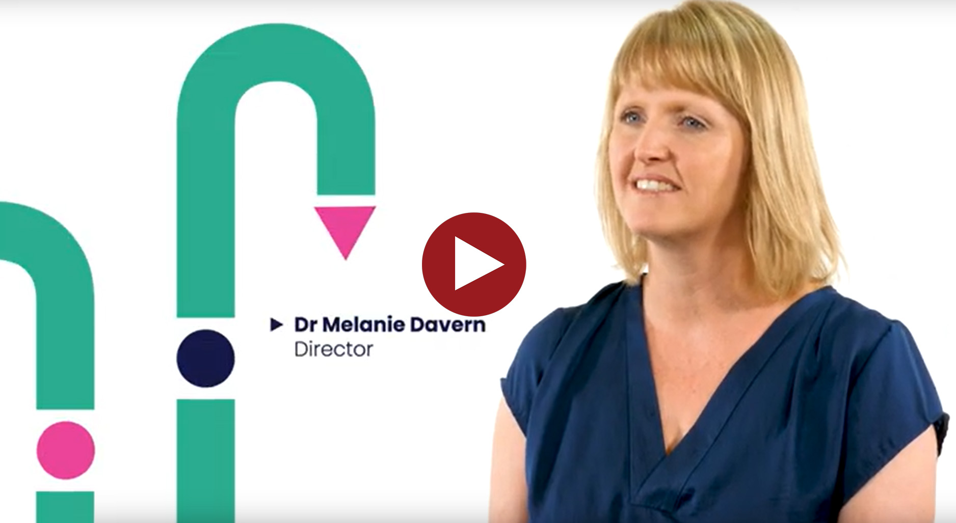
New digital platforms maps livability in our major cities
The Australian Urban Observatory (AUO) is a ground-breaking digital liveability planning platform, built on leading research, to make complex urban data effortless to access, explore and interpret.
Transforming sophisticated urban data and years of transdisciplinary research knowledge into more than 70 intuitive, easy-to-understand liveability indicators, across nine domains of liveability, for Australia’s major cities. The Australian Urban Observatory maps and analyses liveability at the local government area, suburb and neighbourhood level – measuring, monitoring and comparing liveability for 2018, 2021 and 2024 across 21 cities nationwide. The Observatory maps key liveability indicators found to be associated with health and wellbeing, and provides a clear understanding of the liveability of cities.
The Observatory provides information and understanding to support resource allocation, future policy action and support to create equitable, healthy and liveable places users include planners and policymakers, advocates and researchers, educators, students, journalists, developers and consultants.
Our website also provides access to innovative open-source, co-designed software supporting interactive mapping, data integration, liveability scorecards and reports for broad stakeholder applications
Download our Knowledge Sharing Guide
Download our Knowledge Sharing Guide to see some examples of AUO applications and impact that the Australia Urban Observatory has made on communities. The guide contains a selection of reports developed by and/or with our industry partners in local, state and federal government, health planning, policy, applied research and advocacy. We have also made available some guidance notes and tools such as our City Scorecards and Transport Health Assessment Tool.
Support us
The Australian Urban Observatory is a not-for-profit platform. Access to liveability indicators is FREE for Local Government Areas. Access to liveability indicators for Suburbs and Neighbourhoods is only available to those who become a Research Partner of the Observatory. All partner funding is reinvested back into further development of the Observatory, ongoing updates and improvements and new liveability indicators. This will enable the long-term sustainability of the platform and measure and monitor progress in liveability in Australian cities over time.
For more information the Australian Urban Observatory or contact us at auo@rmit.edu.au
Foundation funding partners and supporters
We gratefully acknowledge support from the following funders and research partners:
- National Health and Medical Research Council (NHMRC) supported Centre of Research Excellence in Healthy Liveable Communities
- Clean Air and Urban Landscapes Hub (CAUL) of the National Environmental Science Program
- NHMRC funded The Australian Prevention Partnership Centre (TAPPC) and its funding partners including VicHealth and SA Health
- RMIT University and the Urban Futures EIP
- Australian Urban Research Infrastructure Network (AURIN)
- The National eResearch Collaboration Tools and Resources (Nectar) cloud infrastructure and Australian Research Data Commons (ARDC).
Key people

Professor Melanie Davern
Professor, Sustainability & Urban Planning

Dr. Alan Both
Senior Lecturer, Geospatial Science

Mr. Carl Higgs
Research Fellow

Dr. Lucy Gunn
Associate Professor

Associate Professor Rebecca Roberts
Sustainability and Urban Planning
Partnerships and development
- Katherine Murray
Support
- Maria Sortino