

Environmental and sustainable engineering
RMIT's environmental engineering courses focus on sustainability in line with trends in the global engineering profession.
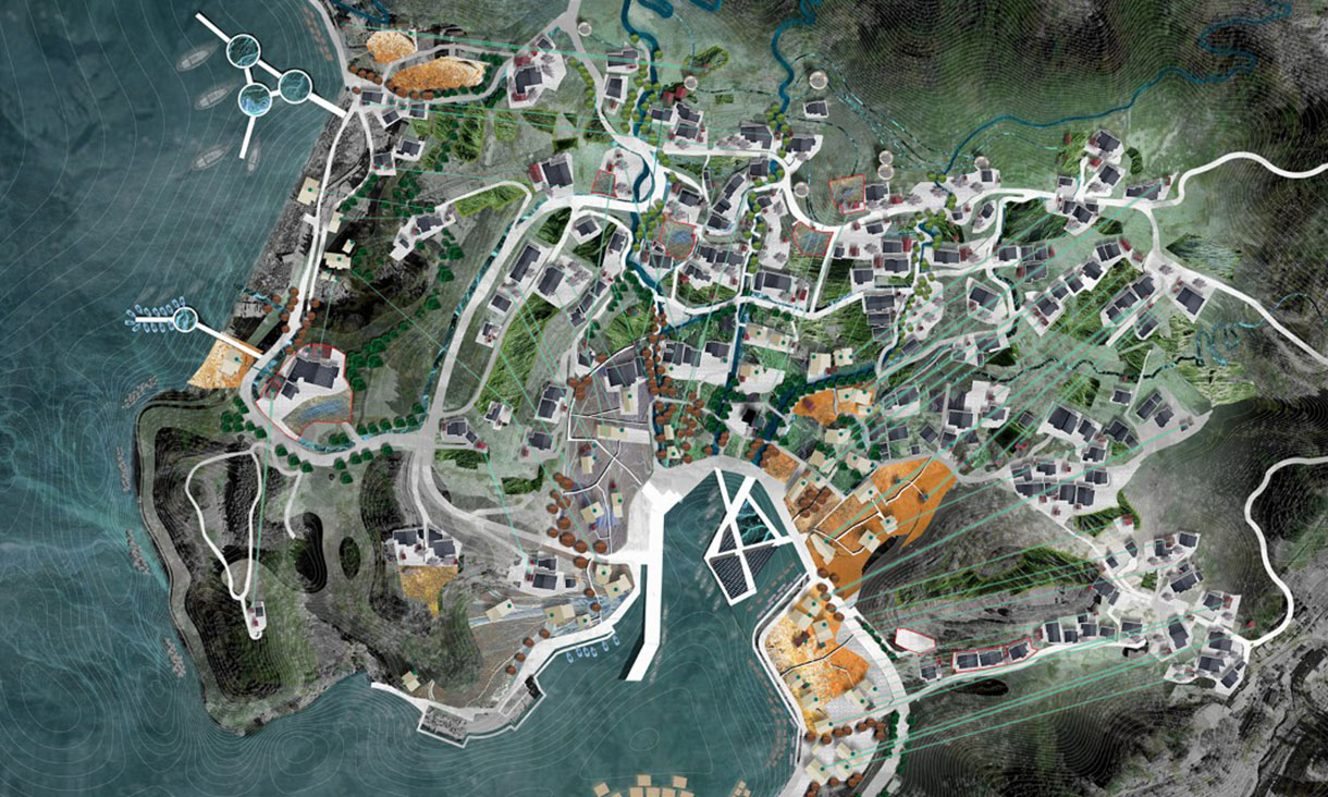
Landscape architecture
RMIT Landscape Architecture is a world leading design program that investigates and proposes better ways of living in a complex and rapidly changing world.